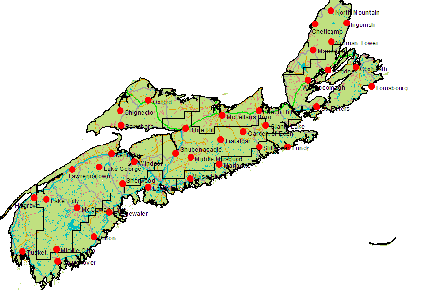
| Click on map for today's weather indices |

|
| NS Dept of Natural Resources Weather Stations |
Fishing
Conditions – Rainfall, Water Level
Rainfall
Clicking on the map shows the fire weather
index for the last 24 hours, updated each day around 1 pm. The "RN24 mm" column is the rainfall reading in mm. All
DNR measuring stations in Nova Scotia, as shown on the map, are included.
Even if you live on or near the St. Mary’s these
statistics can play an important role in helping you plan your time or advise friends regarding fishing conditions. Trafalgar,
Garden of Eden, and Stillwater are the most important measurements for St. Mary's River. Beech Hill measurements can help
determine Antigonish area conditions, Lundy measurements can be used for eastern Guysborough county, and McLellan's Brook
for eastern Pictou County.
Fishing Conditions – Water Level
at Stillwater Bridge
Environment Canada’s “real-time hydrometric data website” shows, in graphical form, water
levels at various sites, including the St. Mary’s River at the Stillwater Bridge. The website describes the service
as follows:
“The near real-time information presented on this
website is received via satellite or land-line transmissions from hydrometric gauging stations owned by Environment Canada
and its Partners. These data are normally posted (in graphical form) within four hours of observation.”
You can visit the website by clicking on the flag below. To see the Stillwater graph,
click on the Google map location “St. Mary’s River at Stillwater - (01EO001) – (NS)”.
Time periods can be adjusted to suit your purposes.
- Bill Carpan
|
|
| Click to visit Environment Canada website |


